Overview
North East Project is a new approach to interactive storytelling that uses navigation coordinates as a narrative structure. Explores the reciprocal relationship between man and his physical surroundings, the project is inspired by the open sea, a constantly shifting place, which man can never have total control over but must perpetually renegotiate his position.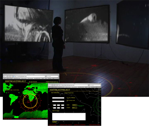 The Project includes:
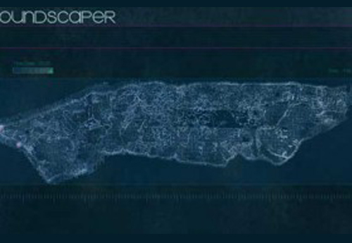
North East Project Web Site
The Project includes:
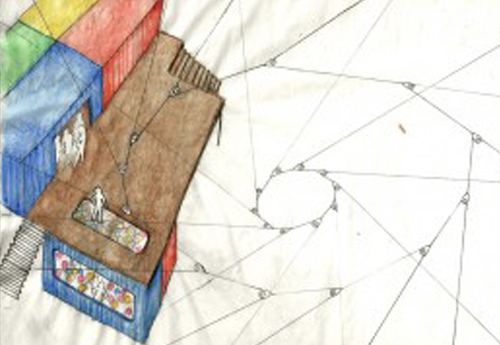
North East Project Web SiteThe web site collects stories based on longitude and latitude. The all platform collects stories in a non-linear way, and it serves as a community space for sailors and travelers to create there own narrative chart on the territory. North East Project Interactive Video Installation
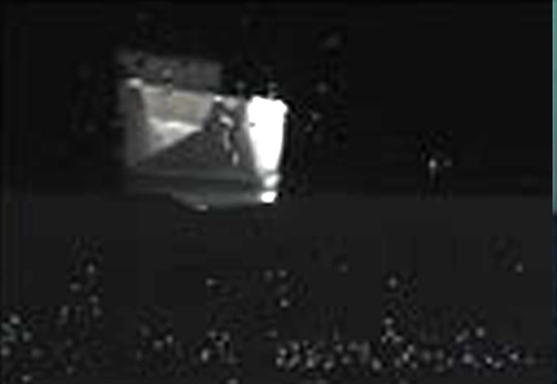
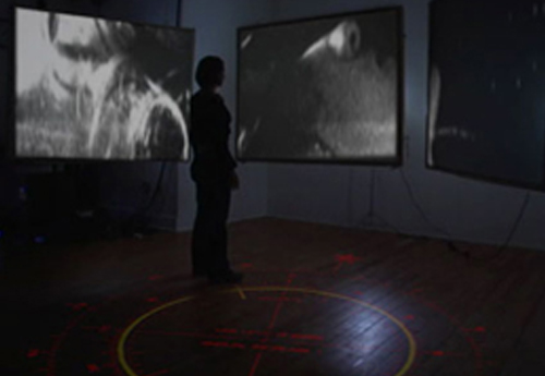
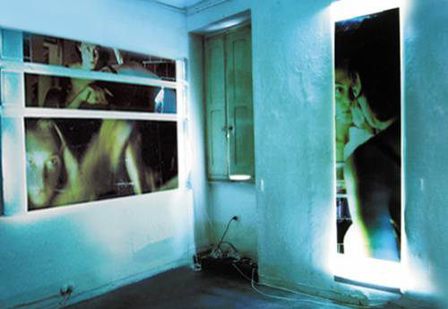
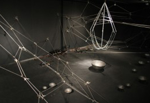
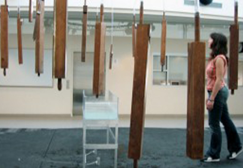
The installation explores in a more physical way the dimension of floating and navigating through space. Using the body as a compass the user navigates the open sea through stories that sailors have left behind to be found. The interface for the system is again based on navigation and compass degrees, which define the position of your body in relation to time and space. North East Project Video Series
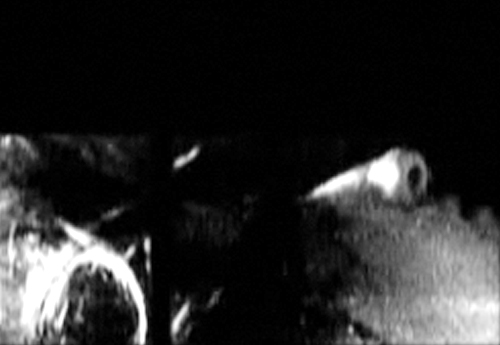
This video were produced to transform written stories and memories in to a visual storytelling. This video series includes:
1) my personal course at sea trough travel journey
2) Basic notion and history of navigation My Course: 18 ° 28' 19" North 40 ° 10' 01" East: The Secret
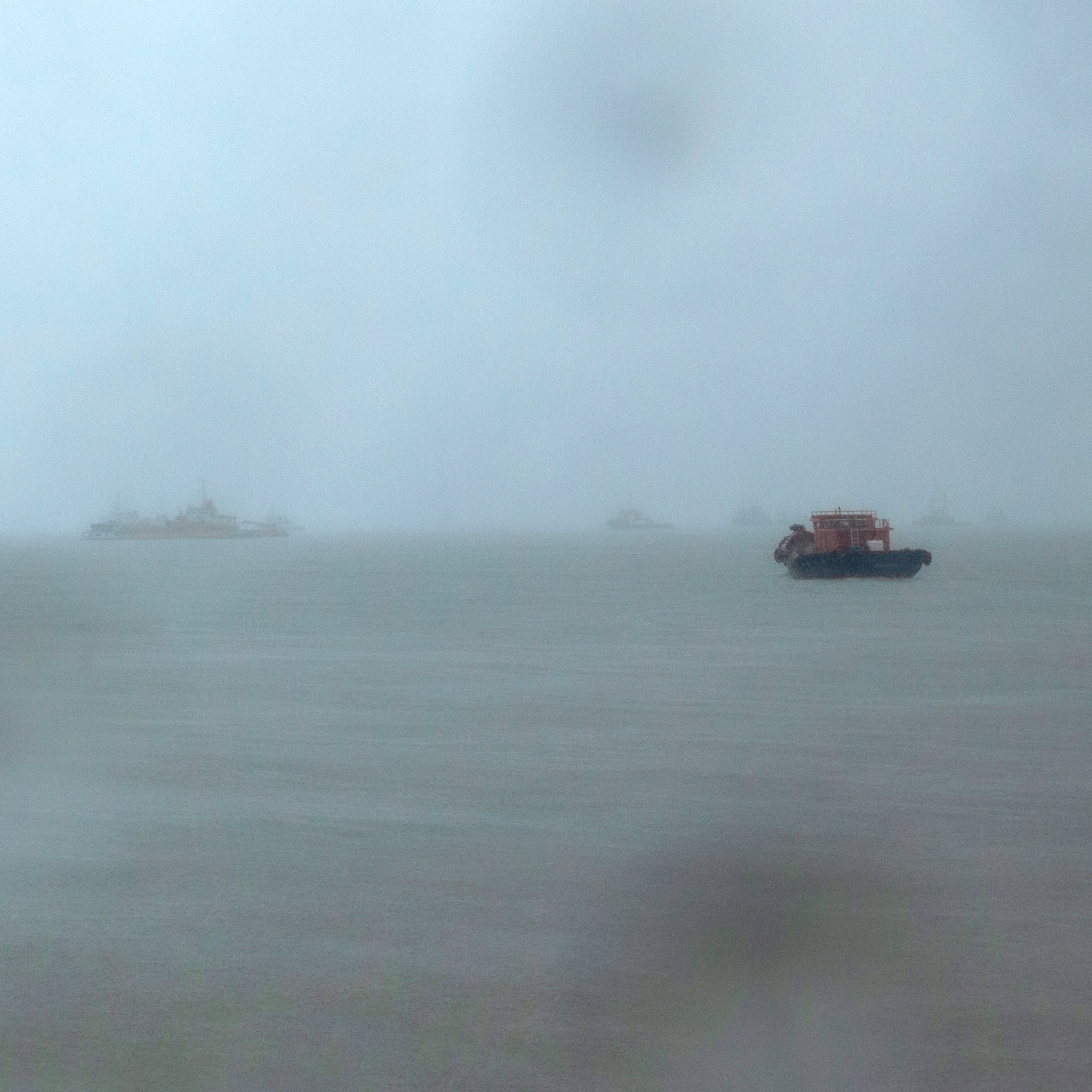
"The sea is the most secure place you can find if you have a secret give to him it will keep it save for ever and give back to you only when you need to" 32 ° 45' 54" North 59 ° 27' 15" West: Tribes with no name and no time
What does a traveler do when he is tired and needs to change his path? When he finds himself entangled and has lost his rhythm? He calls upon the breath, he calls upon a God, whichever one, the one that he knows the best, the one with whom he can afford to share the art of liberty.
Everyone has their own God, the experienced travelers know that they need to find it privately and without any intrusion.
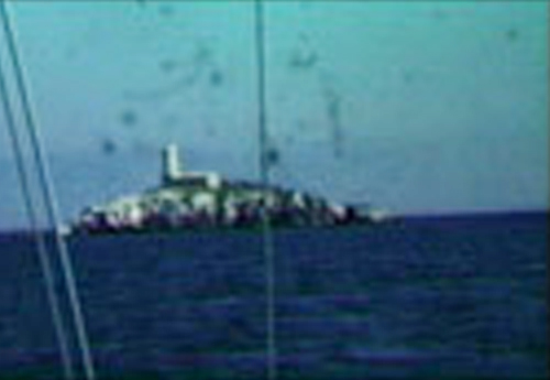
These Gods nurse the energy and the instinct of their nomadic tribes, and they are so grand they have no needs of a name. This is the reason why their tribes have no name and no time. 38 ° 48' 52" North 20 ° 51' 00" East: Snakes island
25 ° 30' 21" North 36 ° 43' 02" East:Crossing
Basic notion of navigation 49 ° 50' 00" North 6 ° 23' 19" East: QCT (Quest for Cosmic Time)
"Returning home from Gibraltar after winning a fight against the French Mediterranean forces Sir Clowdisley wonder at sea after 12 days on heavy fog. Dirty Weather he keep calling it. Most important however was the fact that the admiral had lost his longitude thought the trip and in the October 22, 1707 the fleet crashed on the rocks of the Scillies island, 4 over 5 vessels sank 20 miles from there home port." 40 ° 43' 02" North 74 ° 00' 35" West:Time
51 ° 28' 38" North 0 ° 0' 0" East: Longitude
"The Prime Meridian is the meridian or line of longitude passing through the Royal Greenwich Observatory , Greenwich , England ; it is the meridian at which longitude is 0 degrees."